

Victoria Tunnel | Byrum Street Cutting | Waterloo Tunnel | Riverside Station | Maps
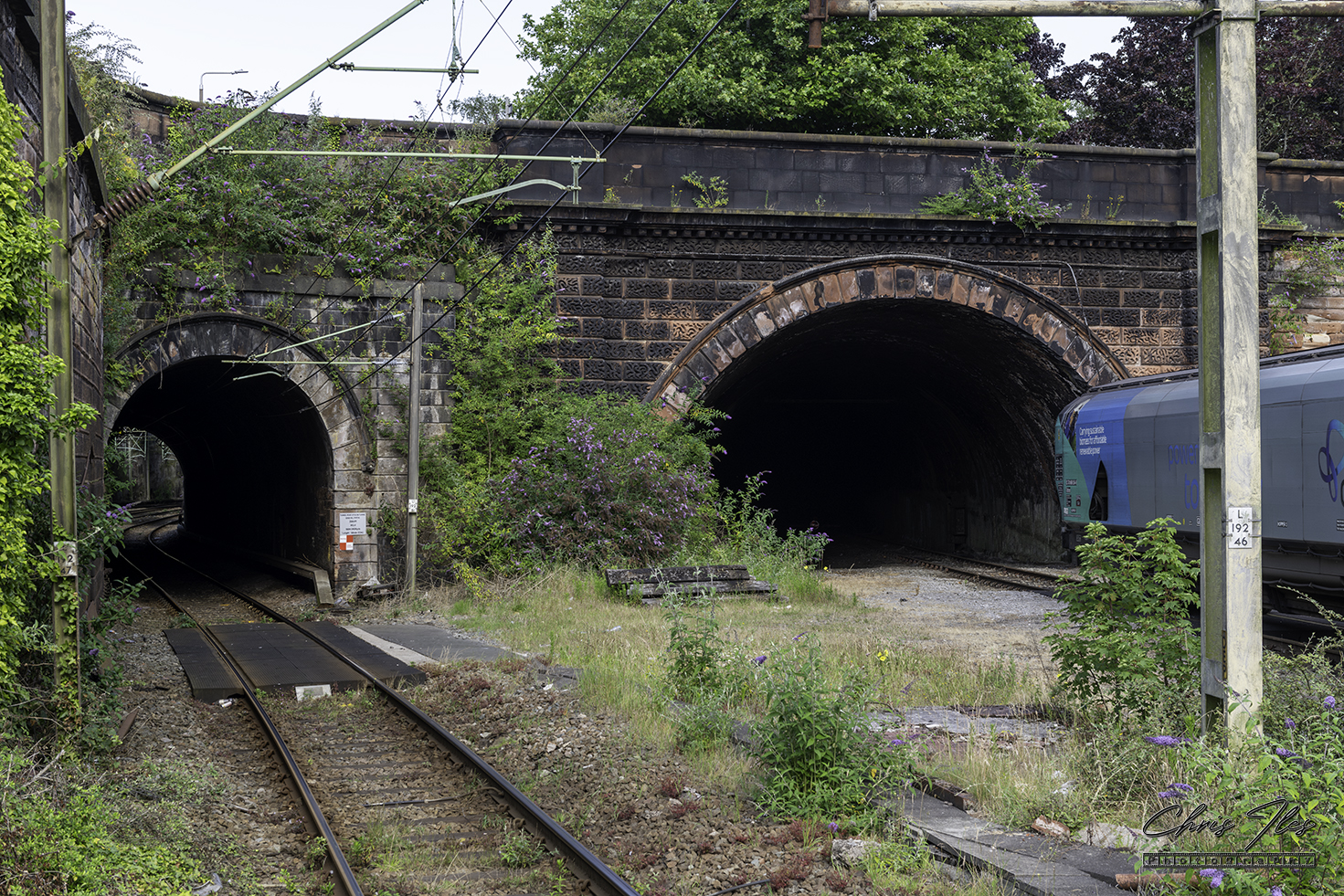
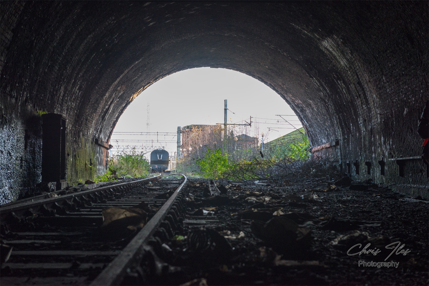
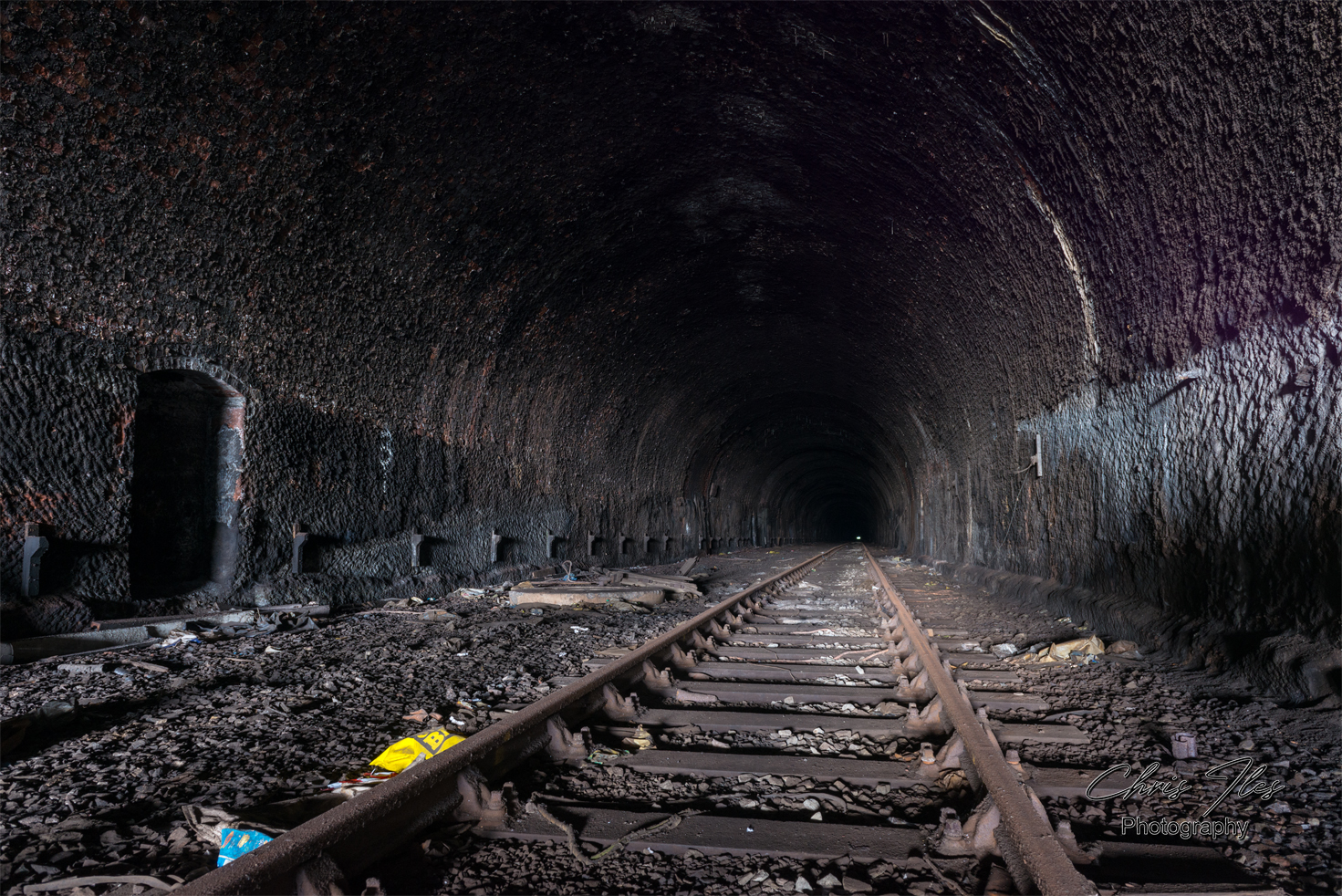
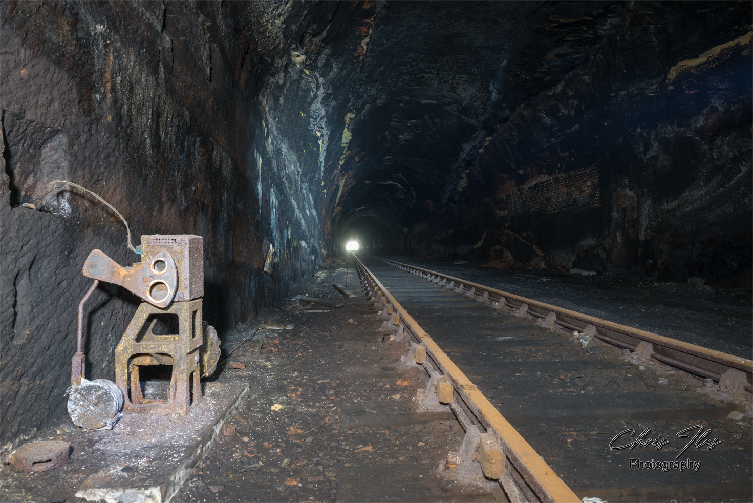
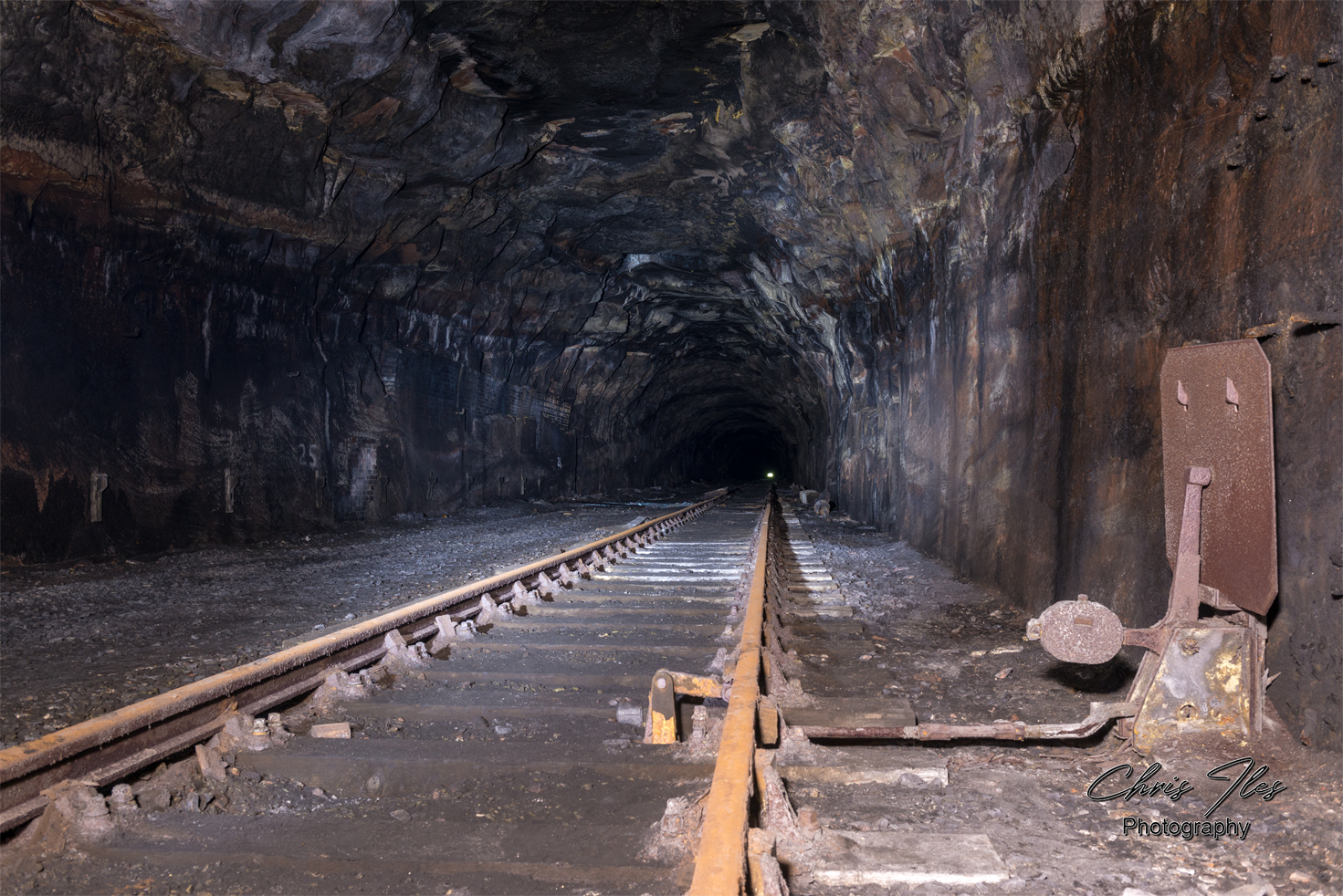
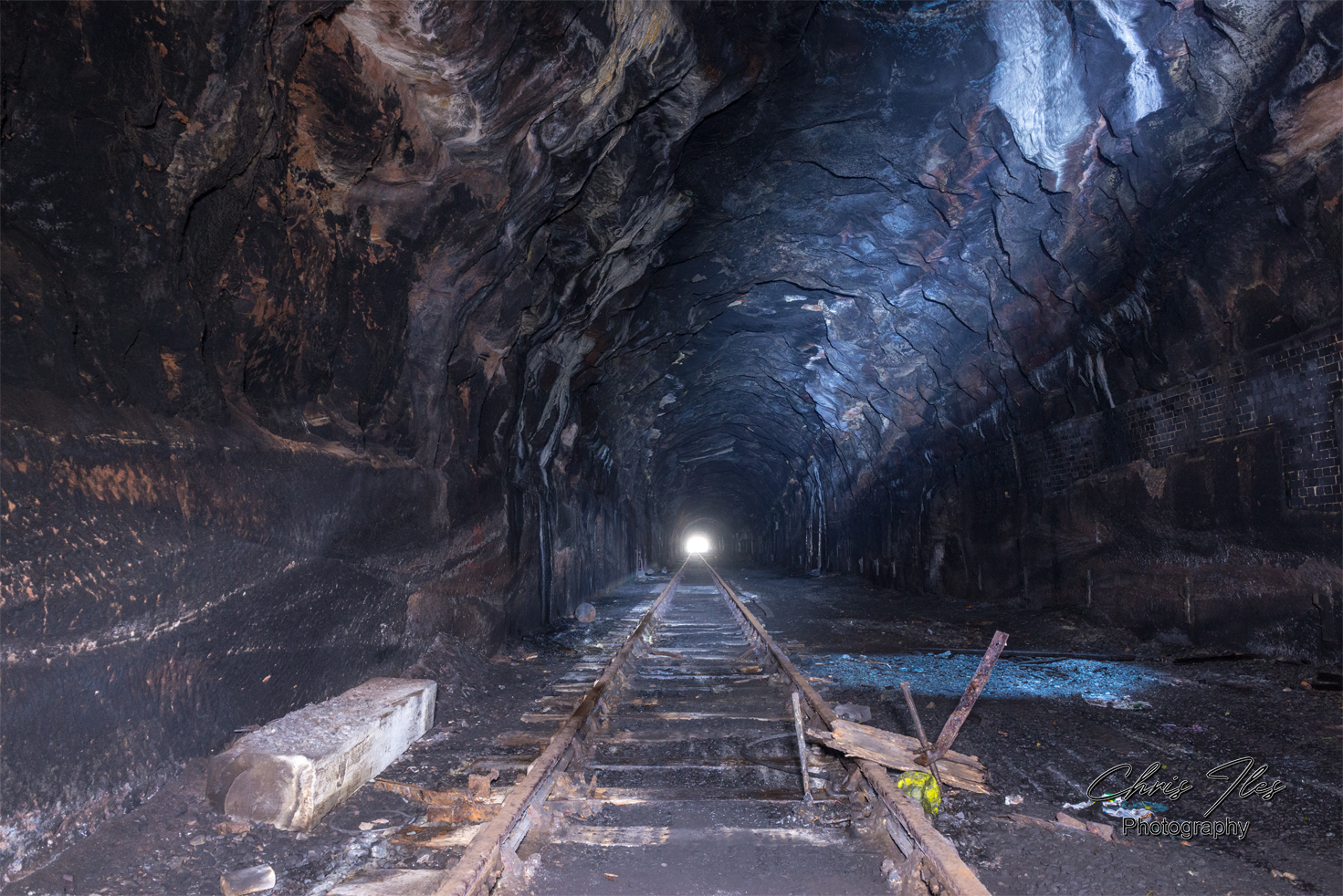
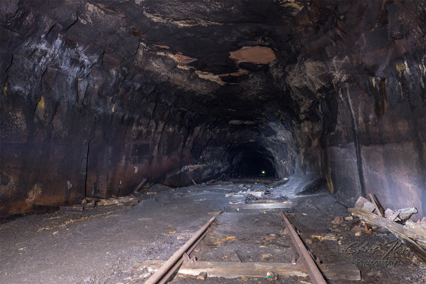
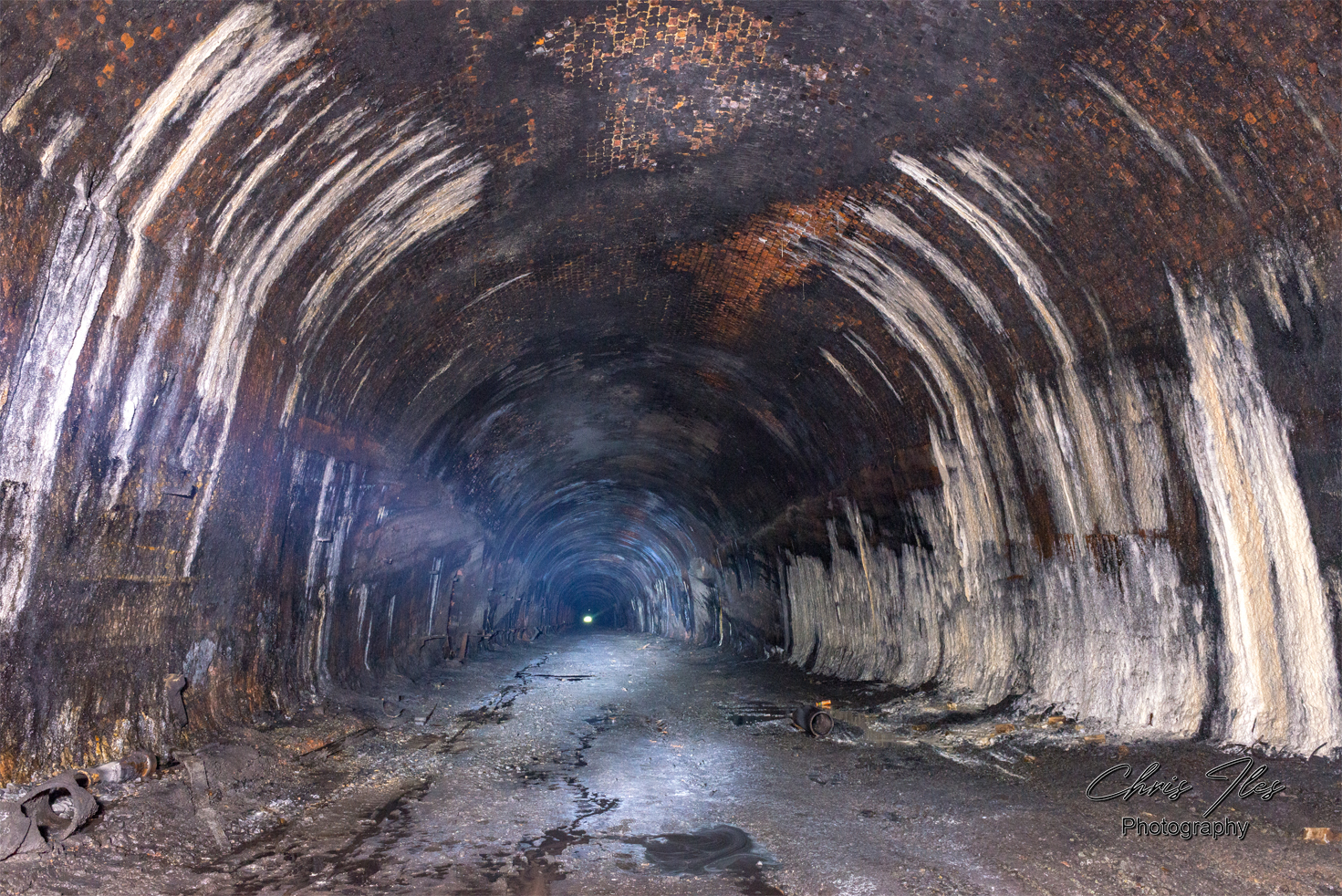
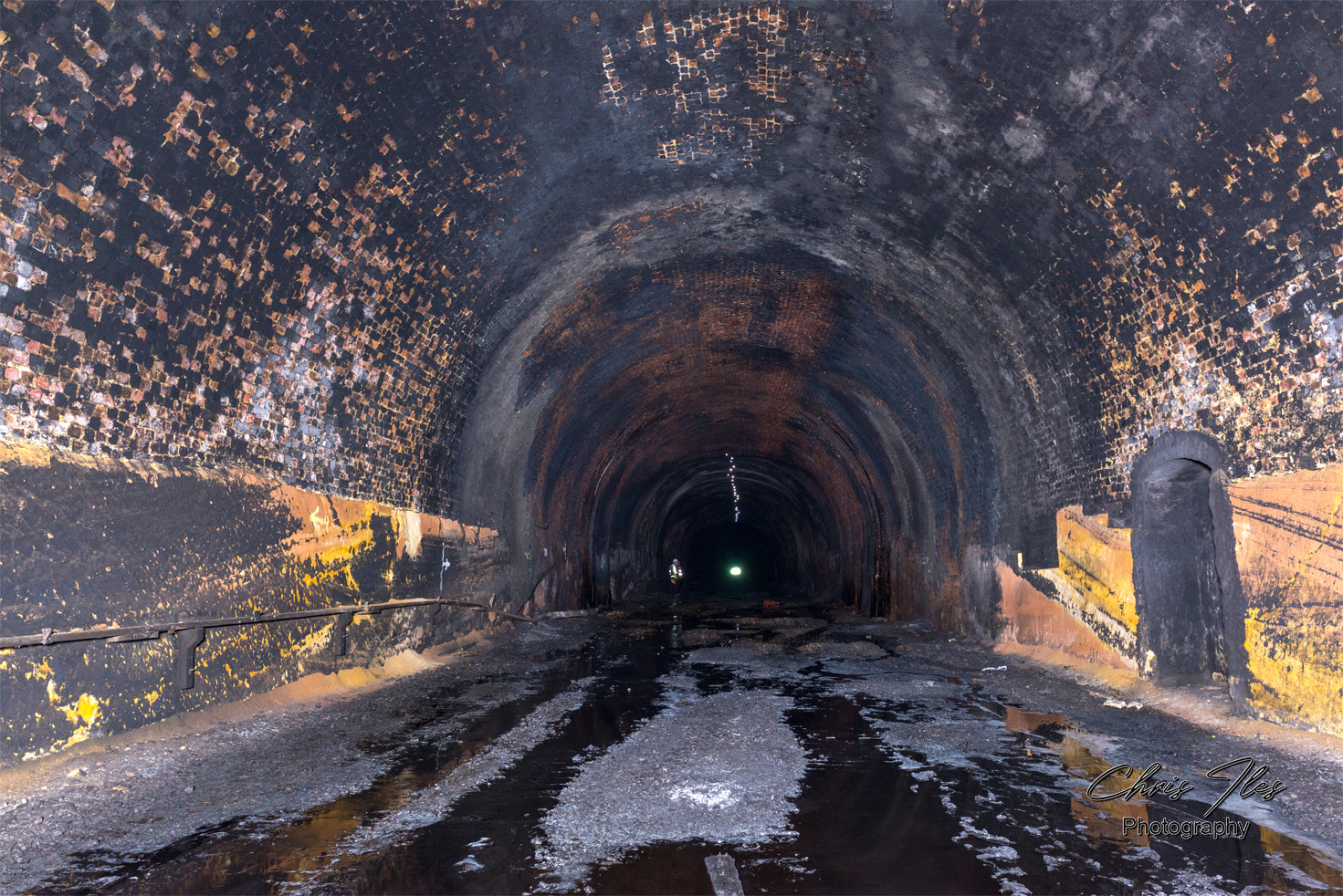
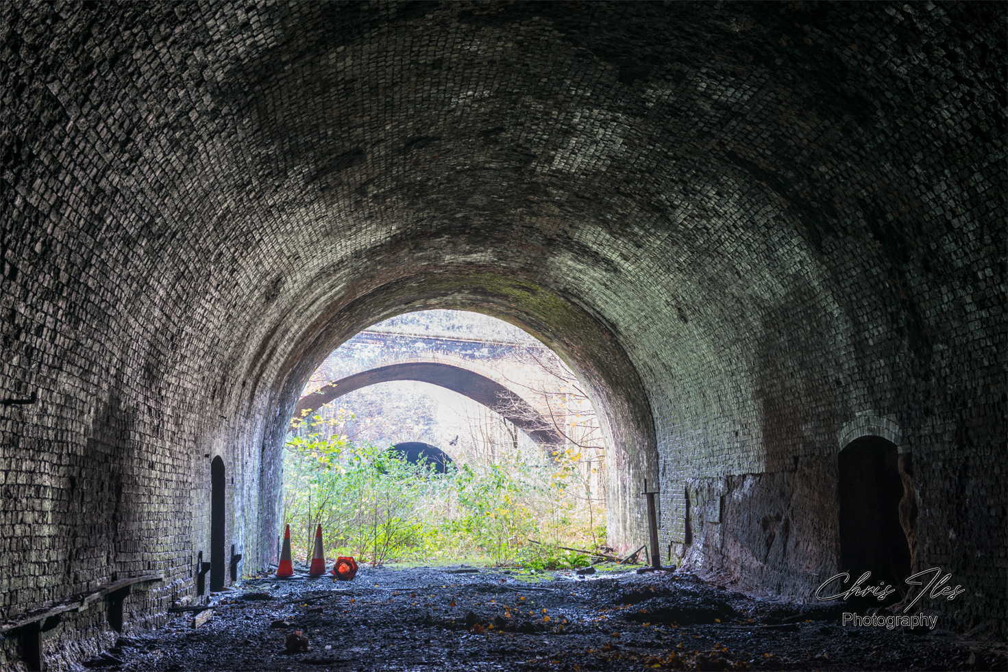
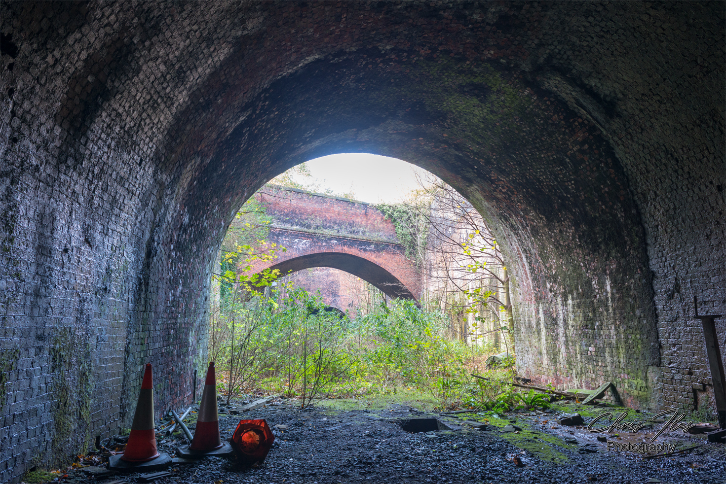
Alongside Edge Hill Station, is what would have been the former Waterloo Branch line. The line ran through the “Victoria Tunnel” (1mile 947yd) with it’s Grade II Listed portal, the “Byrom Street Cutting” (69yd) and then the shorter “Waterloo Tunnel” (852yd). The Waterloo branch opened in 1849, initially for the exclusive use of freight trains. Though in 1895 passenger trains started to run on the Waterloo branch to the newly built ‘Riverside Station’ alongside the River Mersey.
The former Waterloo Branch, ran from Edge Hill, through the Victoria and Waterloo Tunnel’s to Liverpool’s Riverside Station, alongside the River Mersey.
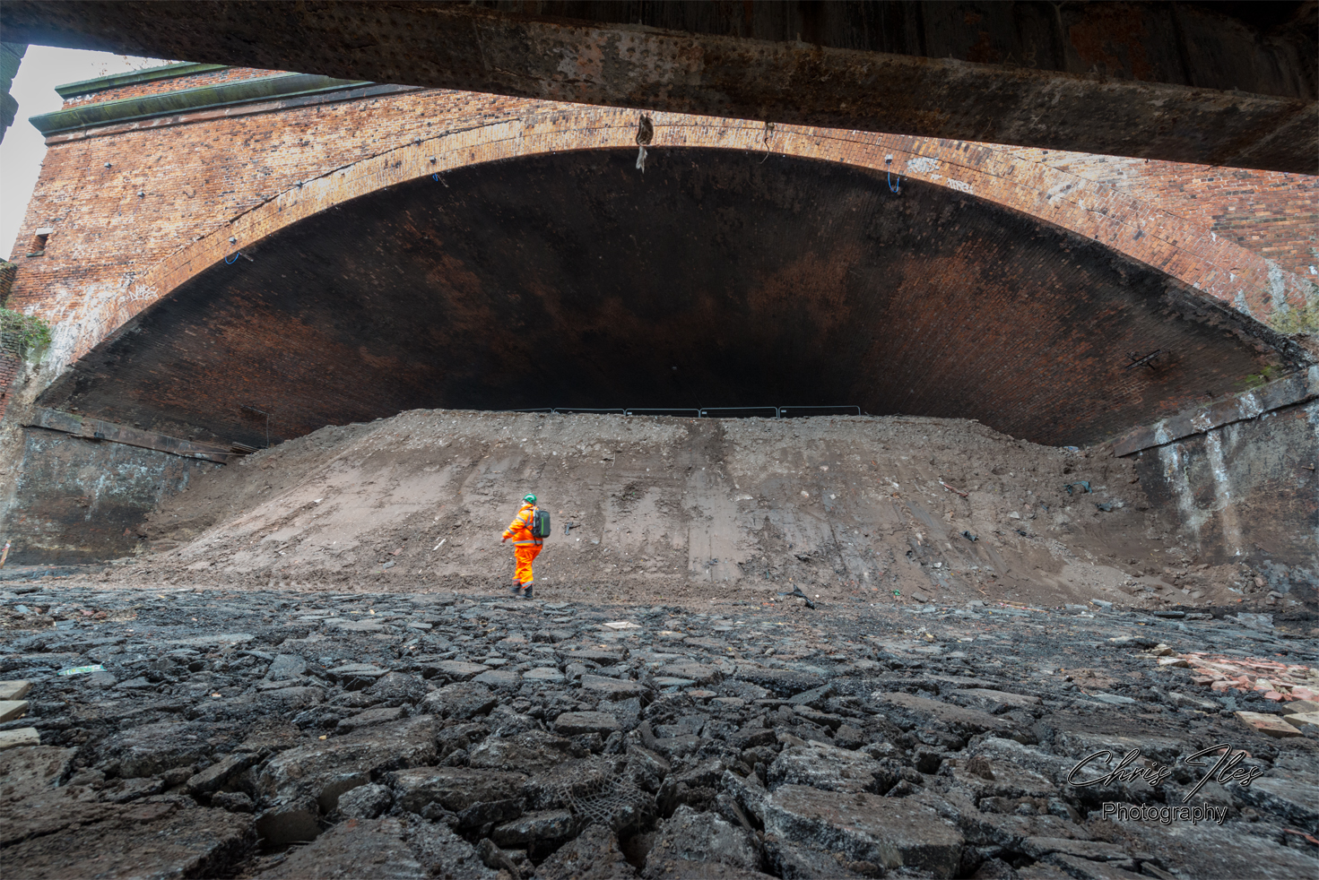
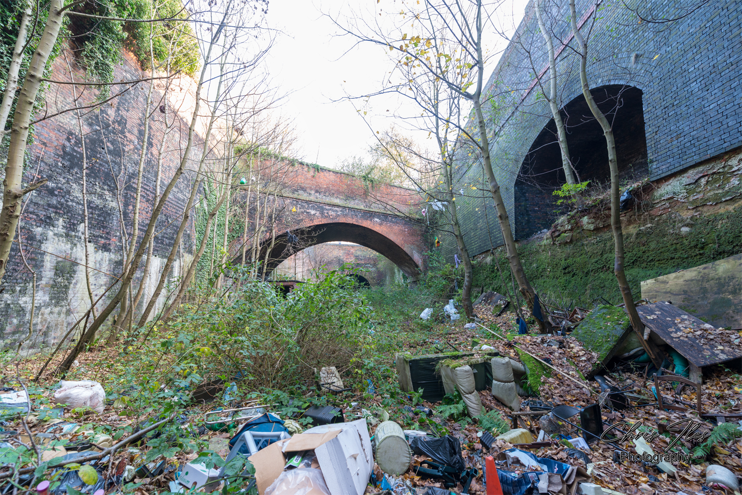
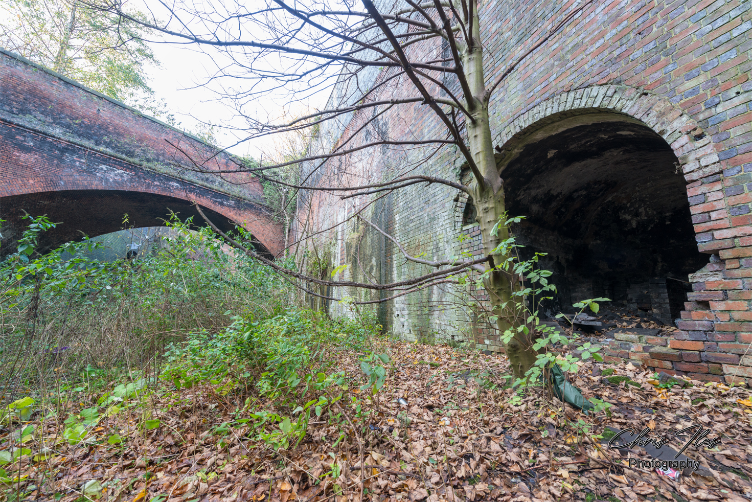
Once a train had passed through the Victoria and Waterloo tunnel’s ftom Edge Hill, the branch line passed beneath the rather spectacular Grand Arch, a large and impressive brick structure. The Grand Arch was built to carry the Lancashire & Yorkshire Railway (L&YR) accross the top of the Waterloo Branch, from Liverpool’s main terminus, Exchange Station. The Grand Arch was designed by the engineer John Hawkshaw, and built by McCormick and Holmes 1849. Beyond the Grand Arch was the original metal Great Howard Street Bridge, the former Waterloo Goods Station, Waterloo dock and finally Riverside Railway Station at the end of the line.
Riverside Station
Riverside Station was the main railway terminus, built alongside Liverpool’s main port. The station provided a direct connection to London for passengers sailing into Liverpool from America and beyond. Riverside Station opened on the 12th June 1895, finally closing to passengers on the 25th February 1971. This aerial view of Liverpool’s North Docks, photographed when I was in College sometime between 1983 & 1985, from the roof of Liverpool’s iconic Royal Liver Building. The interesting view shows the once busy Riverside Railway Station, built on the River Mersey quayside along with many other longlost historic features. The Isle of Man Steam Packet Company continued using the station building as waiting rooms until the early 1980’s. The track beds had been filled in, upto platform level, to allow the building to be used for car parking for several years. The station was finally demolished in 1990.

A view of Liverpool’s North Docks from the roof of the Liver Building, showing the former Riverside Station building alongside the River Mersey.
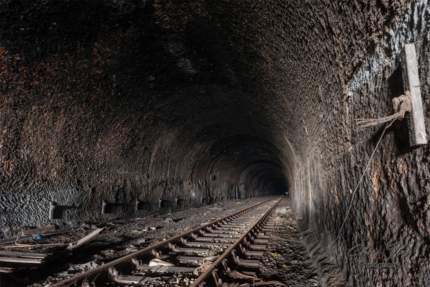
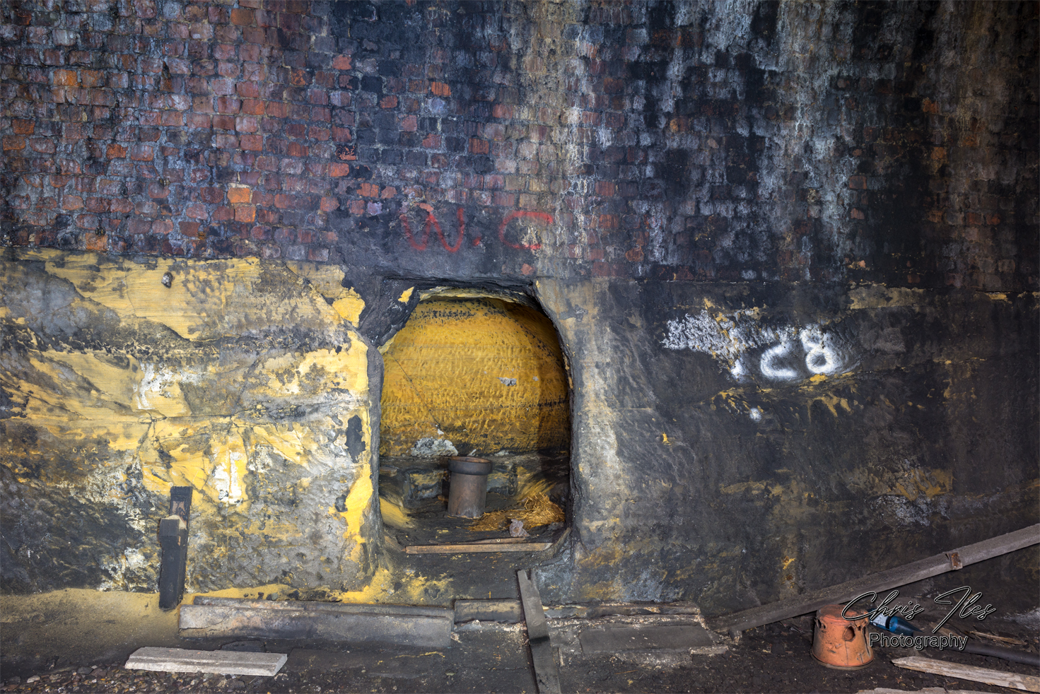
Victoria Tunnel

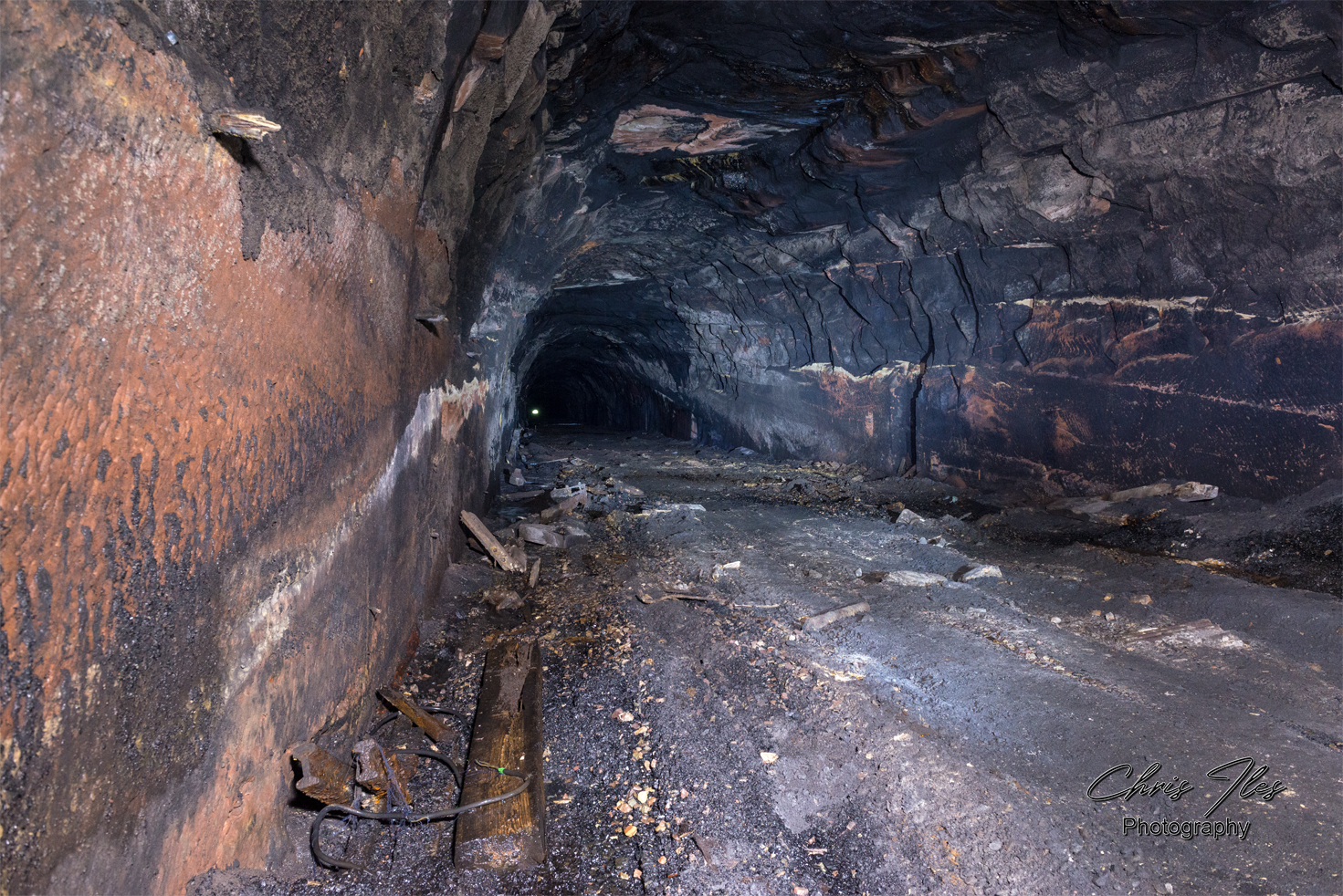
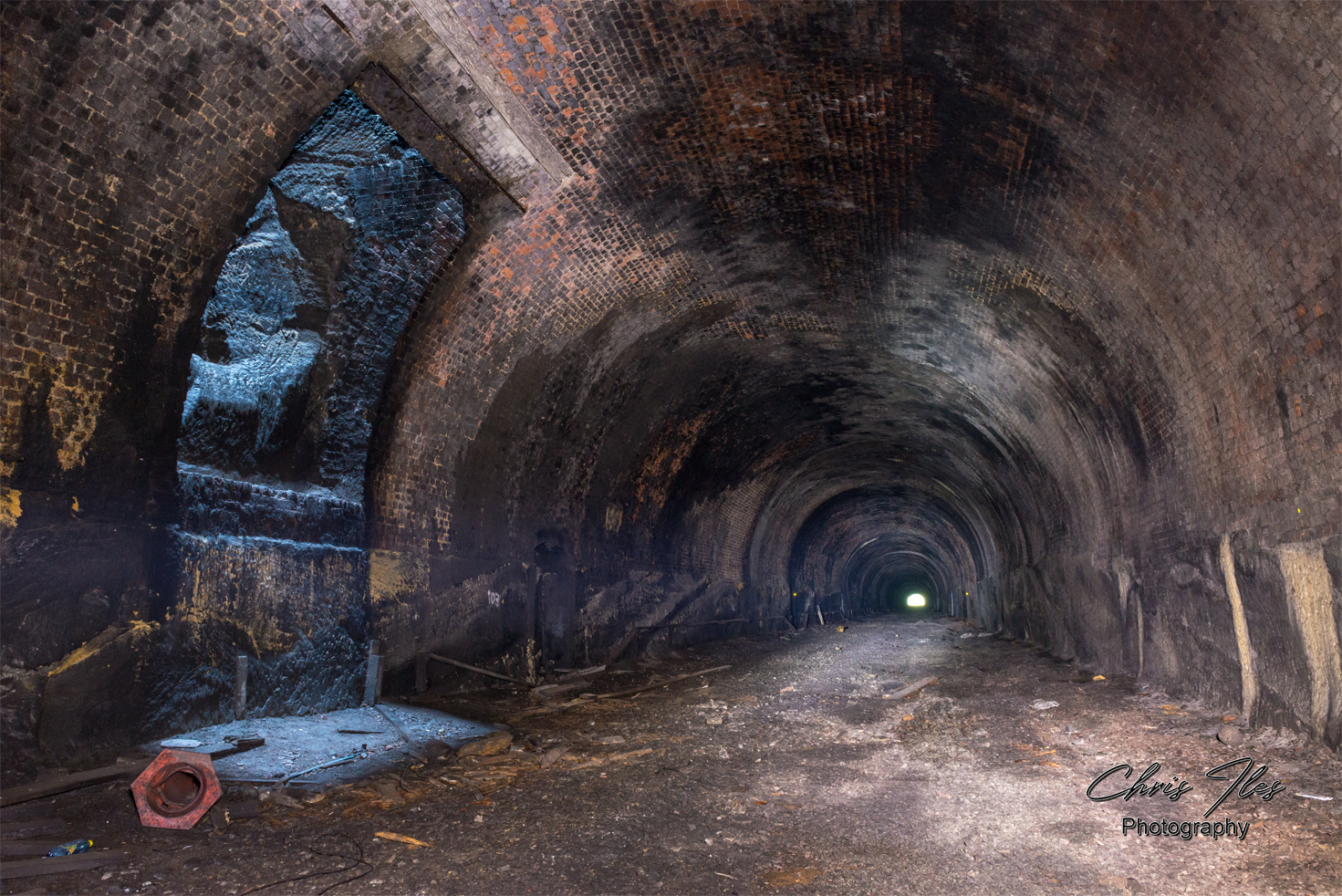
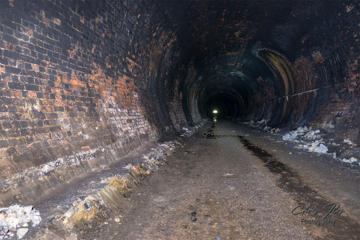
Byrum Street Cutting | Waterloo Tunnel
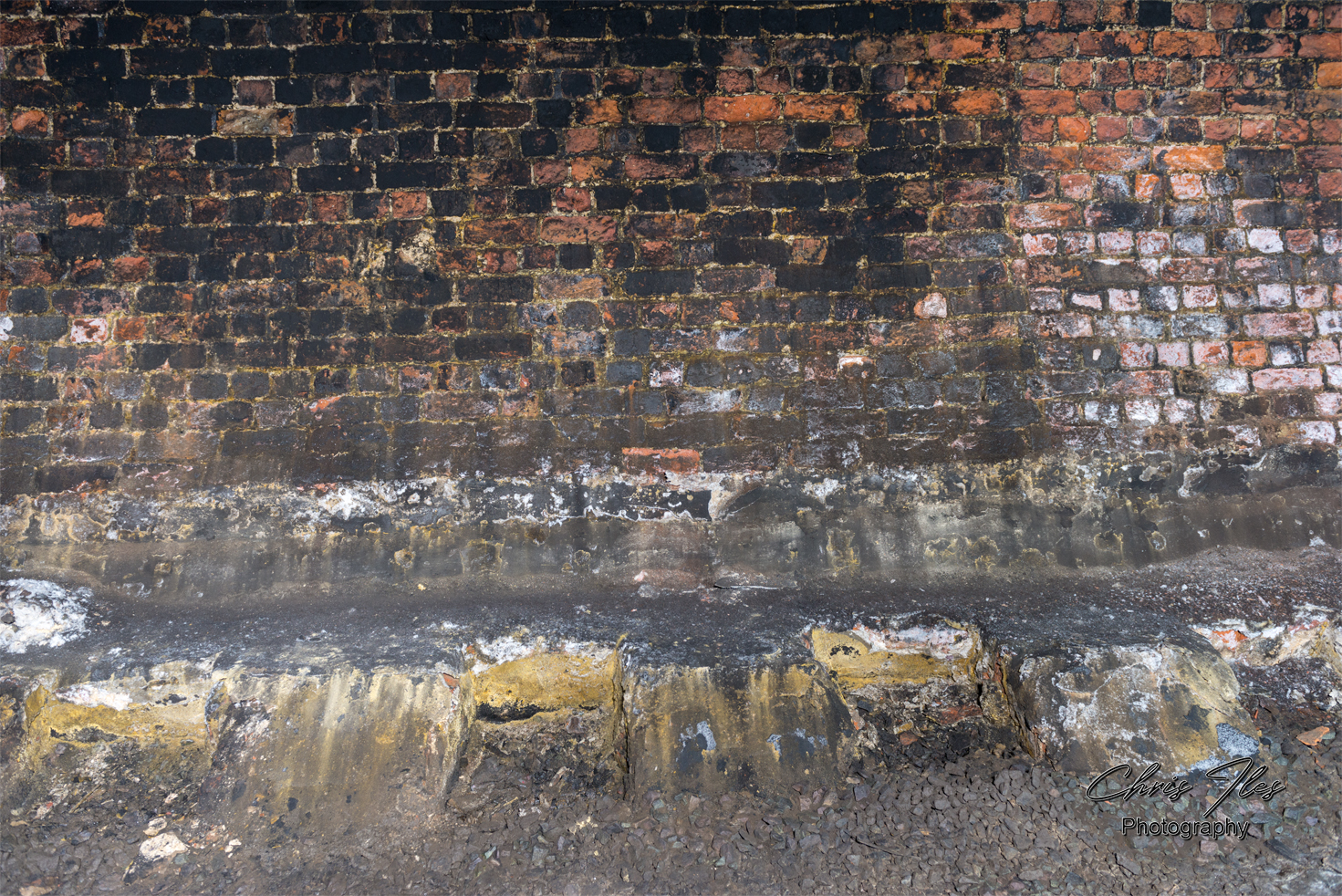
Byrum Street Cutting

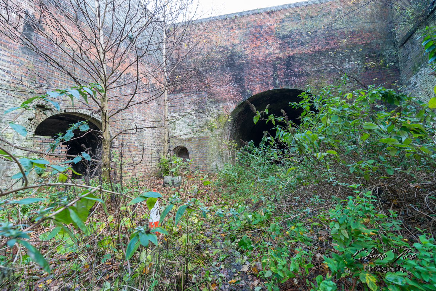
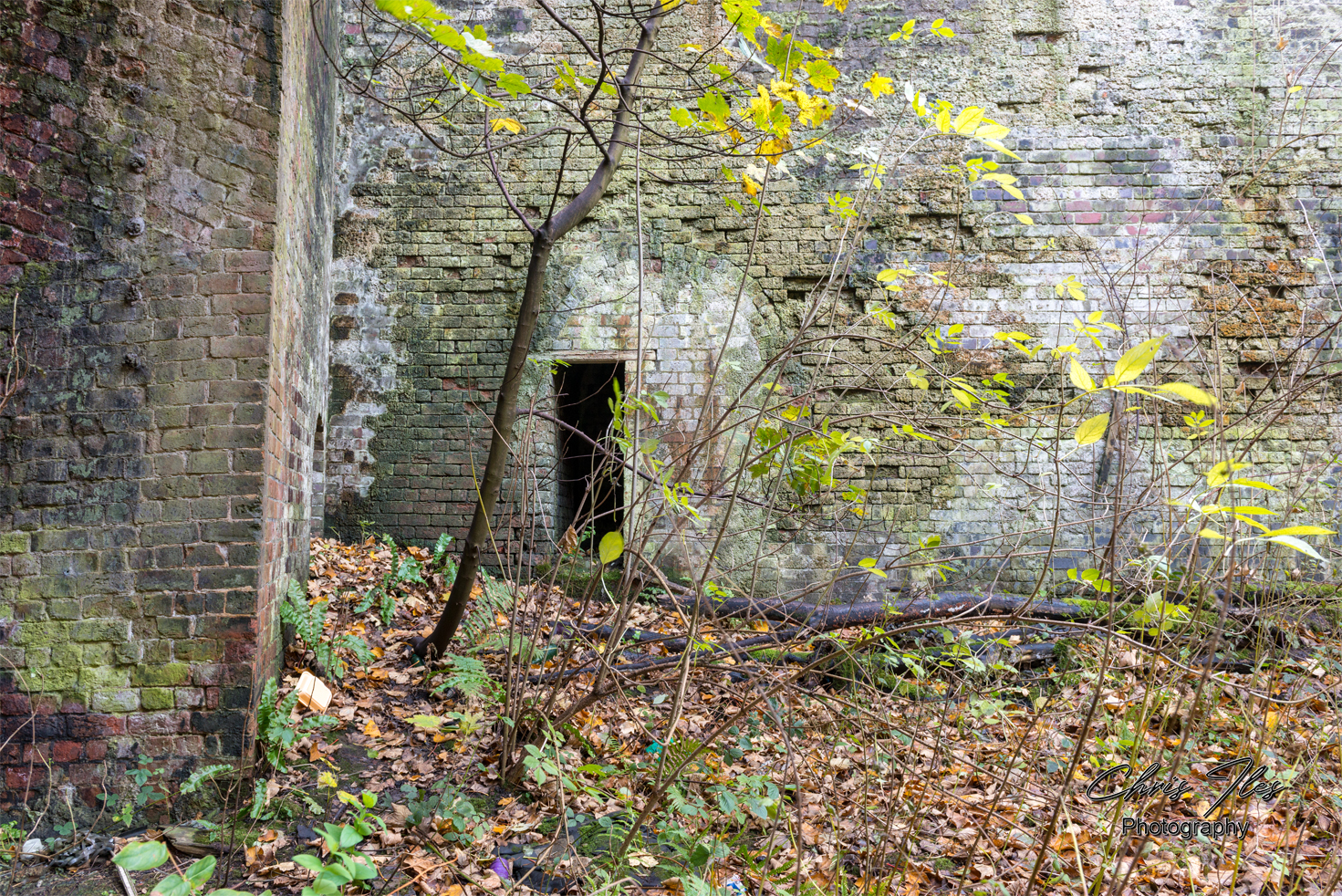
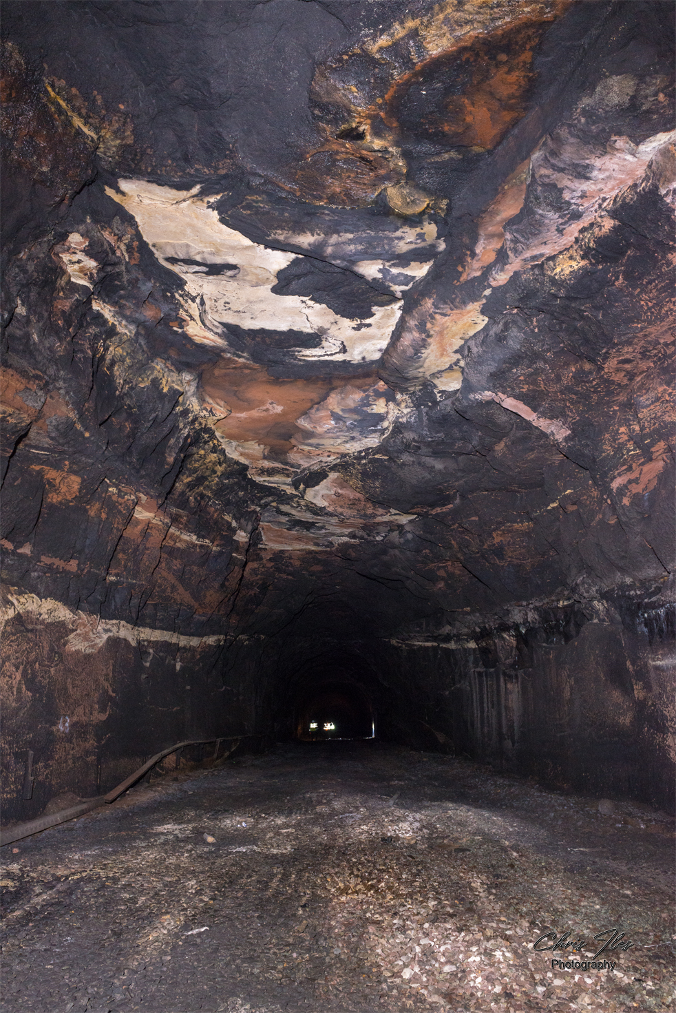
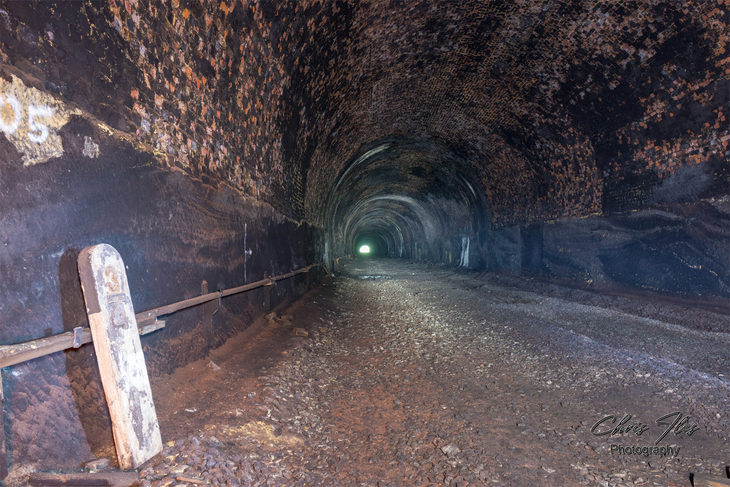
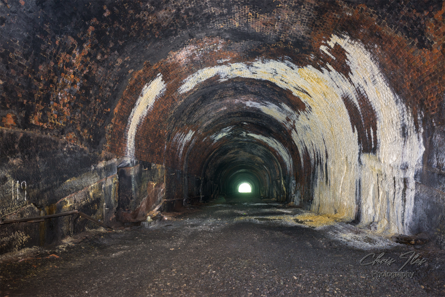
Victoria Tunnel | Waterloo Tunnel
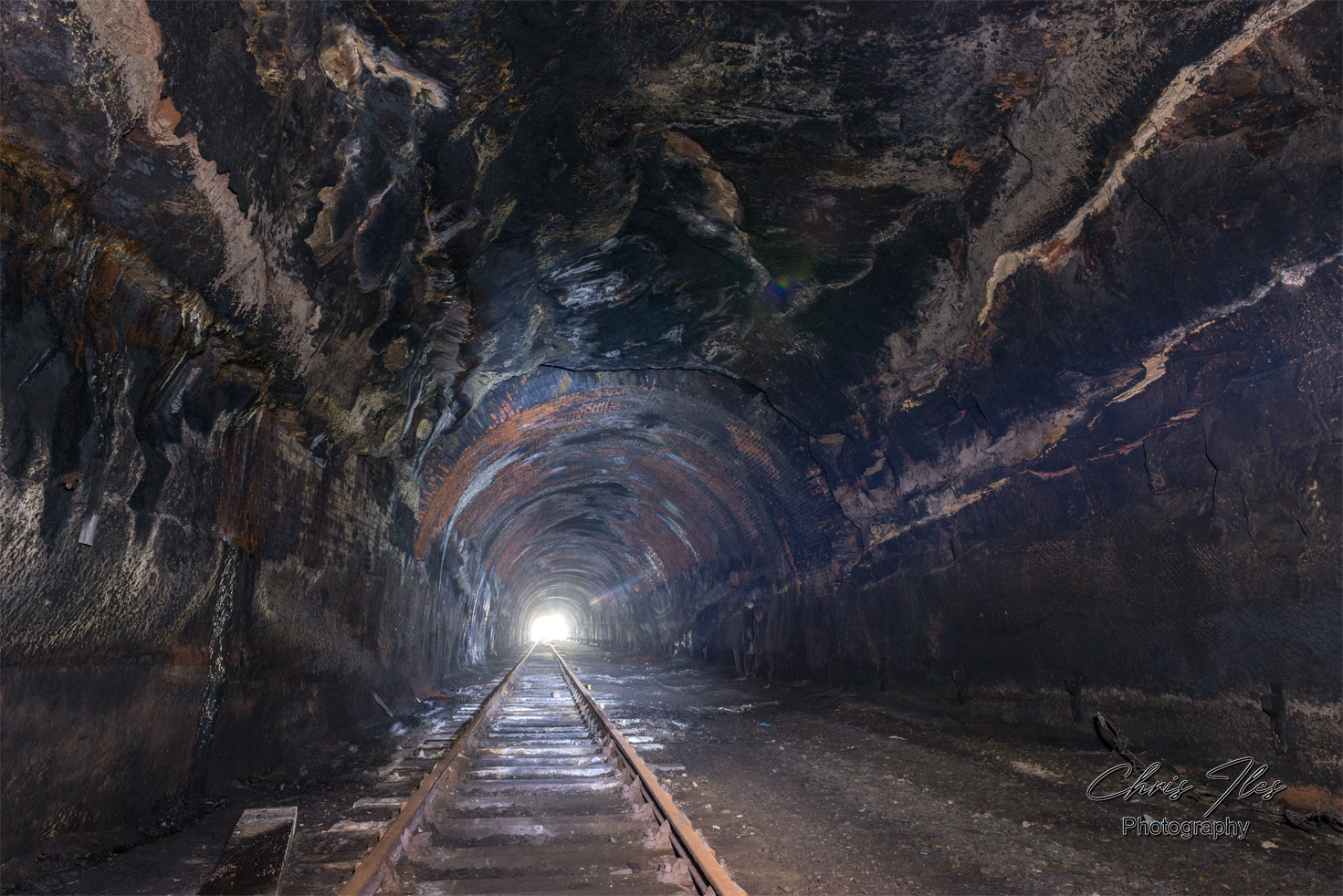
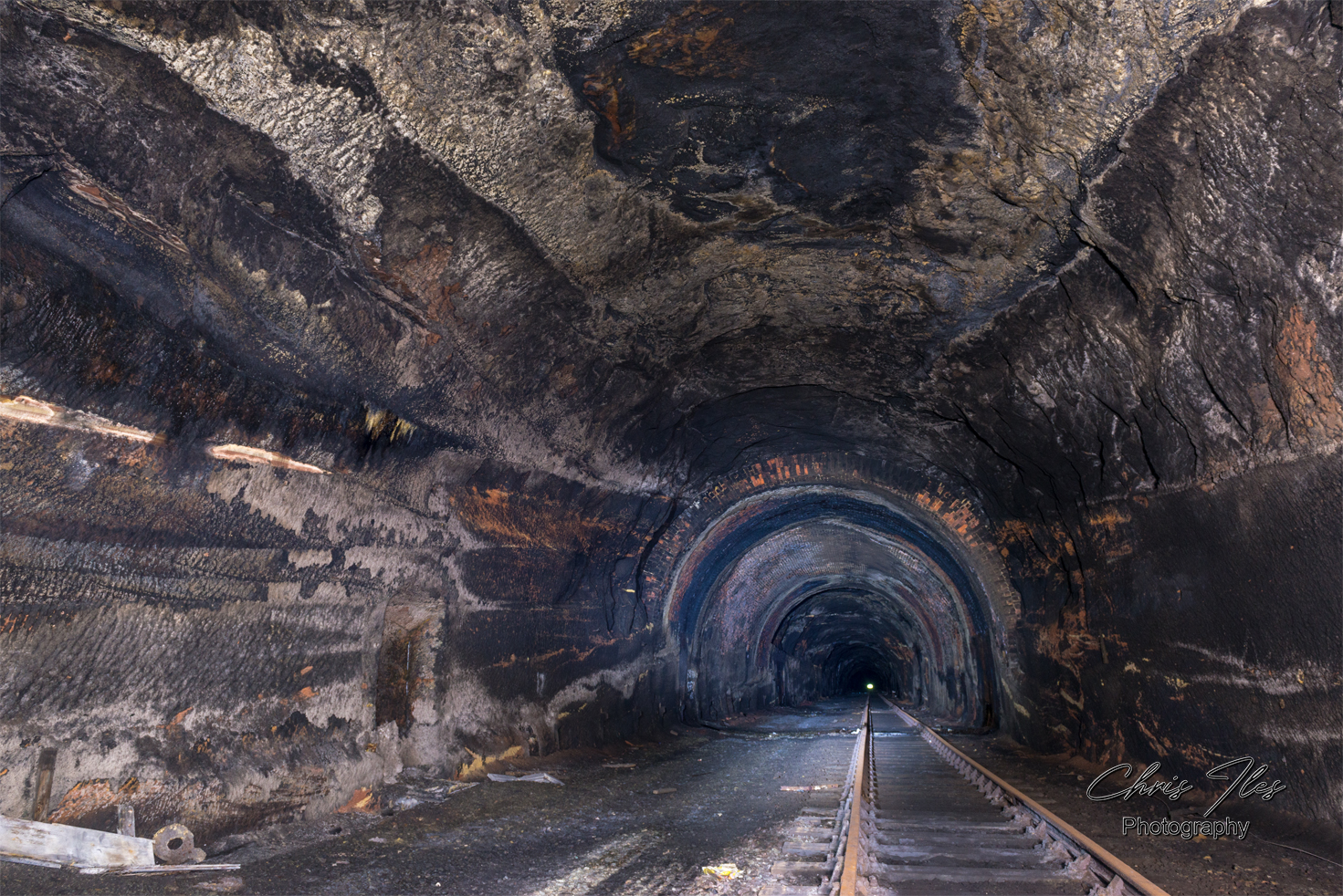
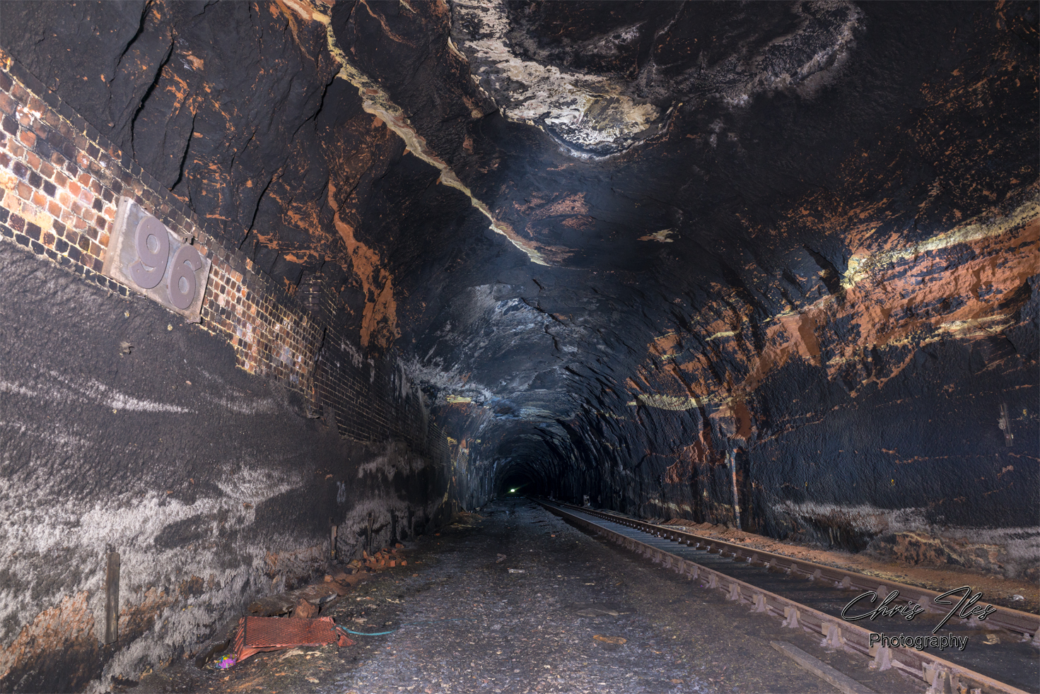
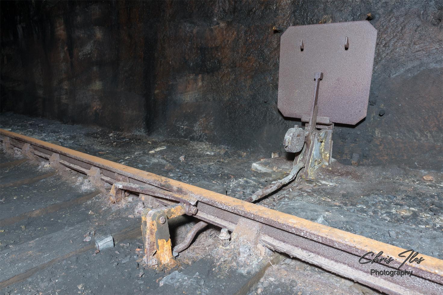
Waterloo Tunnel
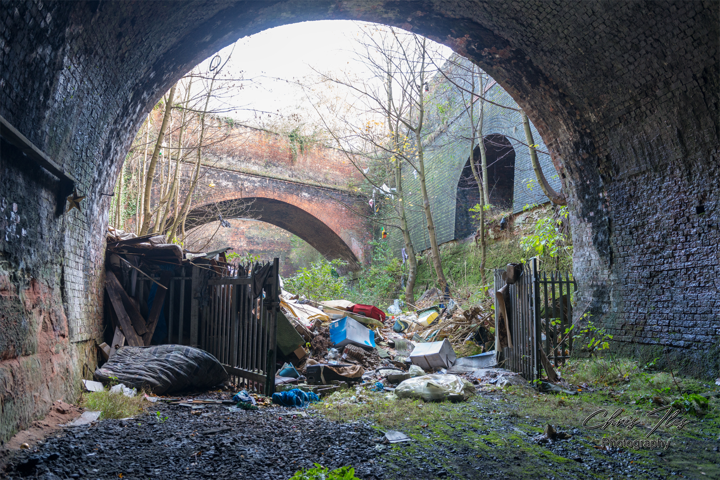
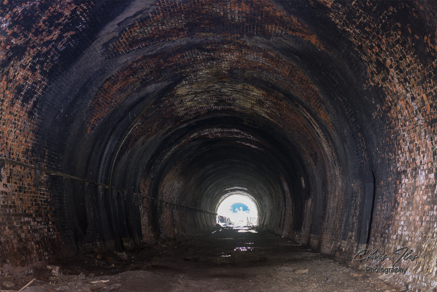
Victoria Tunnel | Byrum Street Cutting
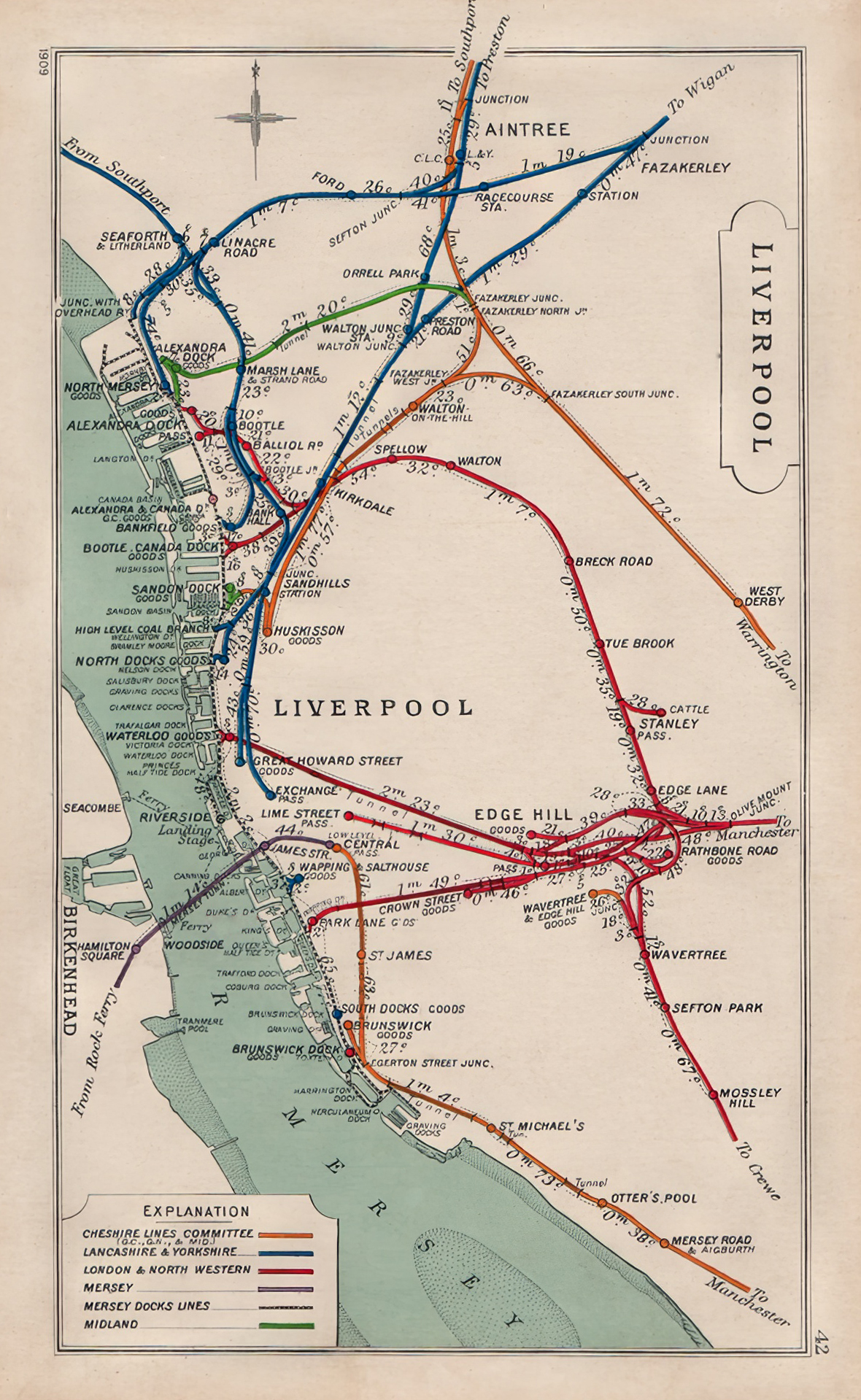
Map showing the location of the Waterloo & Victoria Tunnel’s
Open maps to view in greater detail.

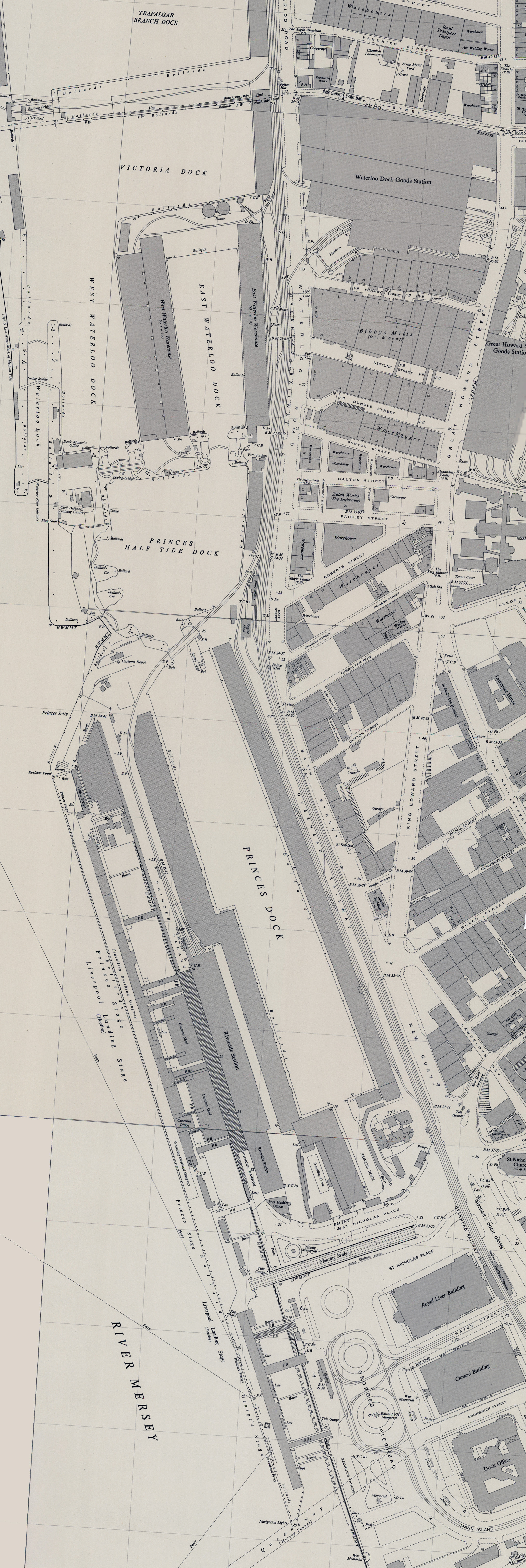
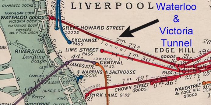

Two closeup maps showing the route from Edge Hill to Waterloo Docks Goods Station. Whilst the second map, continues the short journey to the former Riverside Station. The Maps: OS 1:1,250/1:2500, 1944-1974 Map (curtesy of National Library of Scotland).
A ‘Railway Clearing House map’, dated 1909, shows the Old Railways of Liverpool with a closeup of the section detailing the long disused Waterloo and Victoria Tunnels.
A map purchased for my collection. A ‘Kelly’s Directories’, ‘Map of Liverpool, Bootle and Suburbs 1903’, shows the Railways and stations throughout Liverpool at this time.
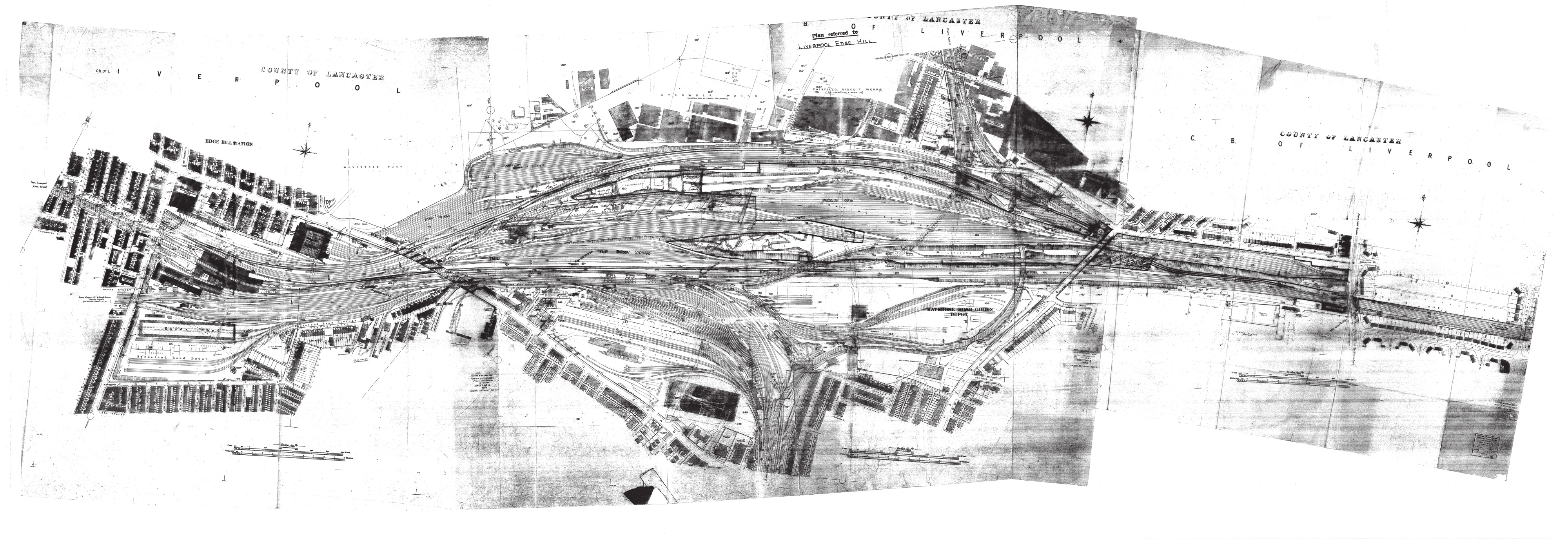
The extent of Liverpool’s complex Rail network as seen on an official 1959 British Railway’s rail plan of Edge Hill. The original plan being approximately 6ft wide, made scanning on an A4 scanner quite a task.
Click the maps, to view in more detail.
Media Coverage
Inside Liverpool’s hidden underground railway tunnel that’s been frozen in time – Liverpool Echo
Inside the Waterloo and Victoria tunnels – Liverpool Echo
Random Image Galleries
Random Galleries, updated on each page refresh.


Leave a comment